

The flagship event of the Grand Raid de La Réunion, the Diagonale des Fous remains one of the toughest, wildest and most fascinating ultra-trails on the planet. For 2026, organisers once again offer a brutal route covering nearly 181 kilometres from south to north across the island, from the shores of the Indian Ocean to the legendary Stade de La Redoute. Endless climbs, punishing descents over volcanic rock, exposed balcony trails and suffocating humidity: here is the course, section by section.
1. The southern launch: from the fervour of Saint-Pierre to the highland pastures (km 0 ➔ km 55.6)
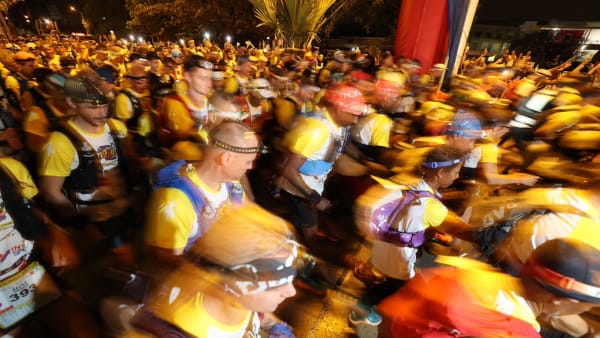
It all begins on the seafront in Saint-Pierre (Ravine Blanche / Place Salahin). With the Reunionese crowd whipping up a feverish atmosphere, the field heads along Boulevard Hubert De Lisle towards the Terre Sainte district. This flat, runnable opening stretches out the snake of headlamps before the first climbs begin.
From Chemin de la Croix Jubilé, the scenery changes: runners take to dirt tracks through the sugar-cane fields. The climb continues to Domaine Vidot (km 14, 649 m), the first major checkpoint and medical station. From there, the route climbs into the highlands via the Sentier des Foulées de la Fraise, then crosses ravines and forests to Notre-Dame de la Paix (km 33.4, 1,686 m).
After a steep crossing of the Grande Ferme pastures and a detour around Piton Sec on the Volcan trails, the route reaches the Nez de Bœuf area before descending towards Chalet des Pâtres. Runners then cross the RN3 to reach the first major strategic stop of the night: Mare à Boue (km 55.6, 1,604 m).
 © Grand Raid / ImazPress.com
 © Grand Raid / ImazPress.com
 © Grand Raid / ImazPress.com
 © Grand Raid / ImazPress.com
 © Grand Raid / ImazPress.com
2. The island's roof and Salazie's lush kingdom (km 55.6 ➔ km 80.6)
Leaving Mare à Boue, the serious work begins. The GRR2 takes runners on a long, often muddy climb through the highland bois de couleurs forest to Coteau Kerveguen (km 65.1, 2,187 m). The route then heads towards the race's highest point, the Croisée Coteau Kerveguen / Caverne Dufour (km 67.6), brushing 2,500 metres above sea level at the foot of Piton des Neiges.
Then comes the dreaded descent:
Cap Anglais (km 70.5): A technical, treacherous and slippery descent where maximum concentration is essential.
Gîte de Bélouve (km 76.4, 1,502 m): A spectacular window opens onto the lush ramparts of the Cirque de Salazie.
Hell-Bourg (km 80.6, 995 m): The course's first Base Vie. Runners collect their first drop bag, get a hot meal and receive essential medical care before heading deeper into the island's wild interior.
 © Grand Raid / ImazPress.com
 © Grand Raid / ImazPress.com
 © Grand Raid / ImazPress.com
3. The hell and magic of the Cirque de Mafate (km 80.6 ➔ km 123.9)
Leaving Salazie via the Bras Marron footbridge and the hamlet of Mare d'Affouches, the route reaches Plaine des Merles (km 93.8). This is the gateway to the legendary Cirque de Mafate, accessible only on foot or by air.
The route enters Mafate via the imposing Sentier Scout (km 96). Runners plunge down the GRR3, cross the Bras Bémale and follow the spectacular ridge of the “Deux Fesses”, now protected by a guardrail. The course then launches into a rare succession of demanding ups and downs:
Îlet à Bourse (km 104.4) via the Bras d'Oussy footbridge.
Grand Place les Bas (km 107.8), followed by the steep climb to Grand Place les Hauts.
Roche Ancrée (km 111.3), with a ford crossing of the Rivière des Galets and a gruelling switchback climb towards Roche Plate.
Roche Plate / Plateau Cerf (km 118.9).
To escape this green trap, runners must take on the course's monster: the passage through La Brèche followed by the wall of Ti Col / Maïdo (km 122.4). A near-vertical climb along the cliffside, rising from 1,200 m to more than 2,000 m above sea level.
4. The long descents and the march towards the coast (km 123.9 ➔ km 155.1)
From Maïdo (km 123.9), an interminable descent through the bois de couleurs forest leads runners out of the mountains, through the Sans Souci district and on to Îlet Savannah (km 140.5, the second Base Vie).
Once they have recovered from their Mafate ordeal, runners tackle the Halte-Là plateau and the Chemin Ratinaud (km 147.9). This is where they encounter the Sentier de la Kalla, notorious for its slippery rocks and stifling profile, before emerging into the urban area of La Possession at Place Festival (km 155.1).
5. The final tests on the way to La Redoute (km 155.1 ➔ km 180.8)
Even with less than 30 kilometres to go, the Grand Raid shows no mercy:
Le Chemin des Anglais (Chemin Crémont) (km 155.1 ➔ km 164.5): This historic trail, paved with large, abrasive and heat-baked volcanic stones, overlooks the sea all the way to Grande Chaloupe.
Saint-Bernard & La Montagne (km 169): A steady climb through woodland and trails leads to Colorado (km 173.8, 682 m), the final major checkpoint.
Les Rampes de la Montagne & Belvédère de la Vigie (km 177.8): Runners begin the final descent, steep and technical, dropping straight towards the Reunionese capital.
The finish: Stade de La Redoute (km 180.8)
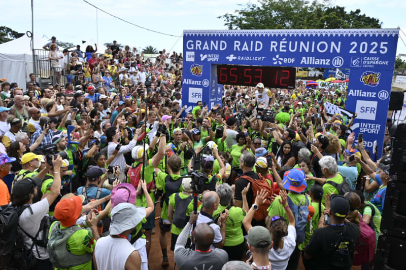
After tens of hours of effort, pain and wonder, salvation awaits at the end of Saint-Denis's stadium track, sealing the runner's status as a “Survivor” of the Diagonale des Fous.
More articles

Vincent Esmiol leads the Diagonale des Fous 2026 after 80 km
Vincent Esmiol leads the Diagonale des Fous by more than 20 minutes after 80 km, while Ruth Croft tops the women's race.
Fri, October 16, 2026
How to Follow the 2026 Diagonale des Fous Live
Find out how to follow the 2026 Diagonale des Fous live on October 15, including start times and viewing options.
Tue, October 13, 2026

Diagonale des Fous 2026: Who will take over from Baptiste Chassagne and Blandine L’Hirondel?
With the defending champions absent, the 2026 Diagonale des Fous looks more open than ever on a reshaped, extended course.
Mon, October 12, 2026